Introduction to GRASS GIS and Scripting in GRASS using Python
FOSS4G-PH 2016 workshop (April 22, 2016)
MH 210, College of Engineering, University of the Philippines Diliman, Quezon City 1191
Engr. Ben Hur S. Pintor
https://github.com/benhur07b


Raster Processing and Analysis
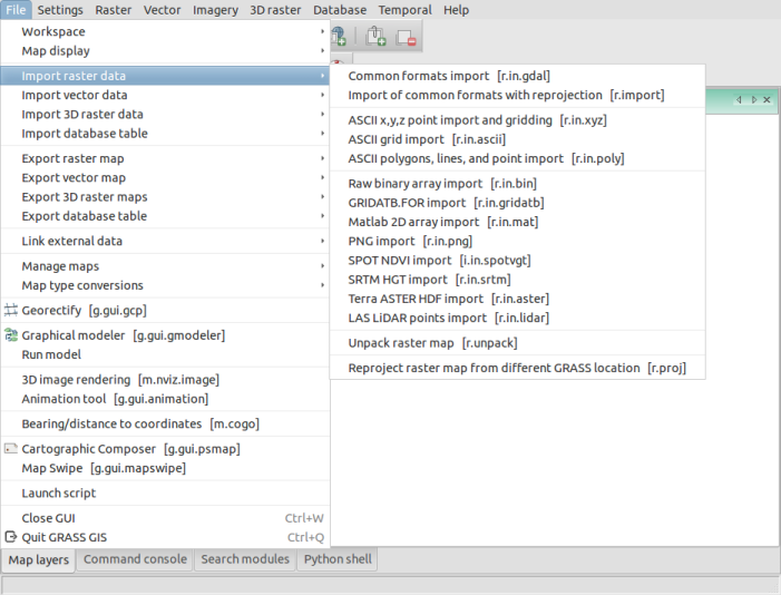
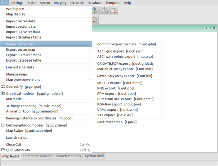
Importing and Exporting raster data
GRASS supports a multitude of raster data formats. Raster data formats supported by GDAL (Geographic Data Abstraction Library) can be easily be imported into a GRASS mapset.Raster outputs from GRASS GIS can be exported to GDAL supported formats easily.r.in.gdal
r.out.gdal
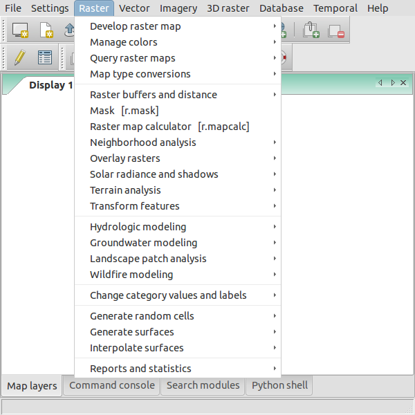
Raster Modules and Processes
Raster modules and processes begin with r.*. Most of can also be found in the Raster dropdown menu.

For more information, visit:
Sitemap
Introduction | Raster Processing and Analysis | Vector Processing and Analysis | WORKSHOP 1 | WORKSHOP 2 (Scripting)